 |
|
 |
|
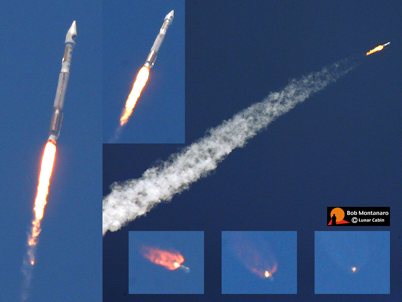
A military Atlas 5 rocket lofts the Space Based Infrared System (SBIRS) Geosynchronous (GEO-1) satellite into orbit from Cape Canaveral Air Force Station at 2:10 p.m. on 7 May 2011. The cloudless sky was hazy from smoke drifting south from a fire to the north. An excerpt from a Lockheed Martin press release explains SBIRS GEO-1: SBIRS GEO-1 will enhance the nation’s missile warning capabilities and improve other critical mission areas simultaneously including missile defense, technical intelligence and battlespace awareness. The GEO-1 satellite includes highly sophisticated scanning and staring sensors that will deliver enhanced infrared sensitivity and a reduction in area revisit times over the current constellation. The scanning sensor will provide a wide area surveillance of missile launches and natural phenomena across the earth, while the staring sensor will be used to observe smaller areas of interest with enhanced sensitivity. When GEO-1 is launched, declared operational and its data is fused into the current constellation, SBIRS will deliver unprecedented, global, persistent, taskable infrared surveillance capabilities to the warfighter, nation and allies for decades to come. |
|
All contents copyright Lunar Cabin |
|